Résumé du projet :
MathCityMap est un projet du groupe de travail MATIS I (IDMI, Goethe-Universität, Francfort) en collaboration avec l’Université de Potsdam. L’IREM de Lyon et l’IREM&S de Poitiers sont partie prenante de ce projet européen.
L’objectif est de créer des parcours mathématiques touristiques et ludiques dans des villes françaises et européennes. (Voir la description des parcours mathématiques, les Math trails, ci-dessous).
Jérôme Coillot : rédacteur de parcours, IREM&S de Poitiers
Matthieu Gaud : rédacteur de parcours, IREM&S de Poitiers
Leslie Létard : rédactrice de parcours, IREM&S de Poitiers
Cyril Redondo : rédacteur de parcours, IREM&S de Poitiers
Début du projet : mars 2021
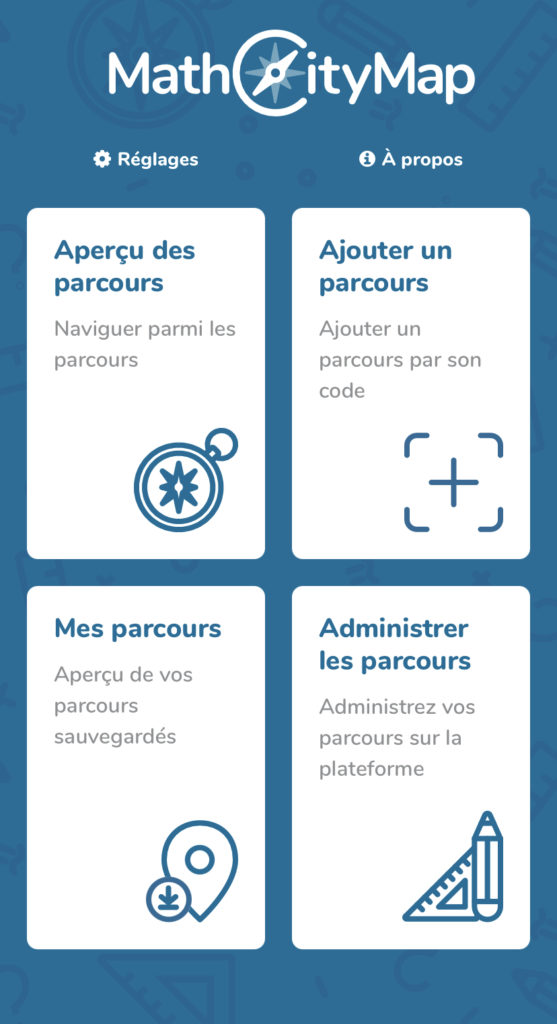
MathCityMap est une application sur smartphone et tablettes pour faire des mathématiques à l’air libre. Elle propose des questions géolocalisées qui amènent les élèves à ouvrir un œil scientifique sur le monde qui les entoure, à observer, estimer, raisonner, se poser des questions et à comprendre les notions du cours comme permettant de résoudre des problèmes. Ces questions sont composées sur la plateforme en ligne, sur laquelle on trouve des assistants et des parcours à thèmes, comme la proportionnalité ou les statistiques. Elles contiennent des épreuves adaptables à son contexte local : il suffit de trouver sur place un objet similaire et en prendre les caractéristiques afin de définir la question. Un des objectifs du projet européen Erasmus+ MaSCE3 est de prouver par l’exemple qu’on peut enseigner quasiment tout le programme de mathématiques à l’aide des rallyes géolocalisés.
Plus d’informations : Math Trails
What is a Math Trail?
A mathematics trail (also maths trail or math trail) is a walk where you can discover and solve mathematical problems on real objects. Math Trails are a part of outdoor education. They can be used in school context to offer a reallife experience beside of textbooks. Nevertheless, a math trail requires good preparation and a solid postprocessing in the classroom.
Many examples for tasks coming from geometrical background. It is obvious to ask for the height of building or a statue, as well as asking for the volume of a pond. But there is more to discover, combinatorical problems can be solved, functions can be discovered or even statistics are possible.
Math Trails have been a thing since the 1980s. The project is about bringing this outdoor activity together with the possibility modern mobile devices are offering. A smartphone can display maps, photos of objects, it allows automatic feedback on solutions the users gives as input.
Benefits
First of all, math trails are fun. They started as a way to popularise mathematics in the 80s and 90s for everyone, students, parents and interessted citizens. Also people move around outside when doing a math trail. They get into a better connection to their environment and start to look through the math glasses.
Going on a math trail means to have walk outside and discover not the mathematics, but also the surroundings. Students start to move and to think about mathematical problems, related to real objects.
MathCityMap
One way to do this is the MathCityMap Project (www.mathcitymap.eu). It is a math trail management system, where users can create tasks and trails and share them amongst themselves or with the public. MathCityMap is now part of the wider approach of MoMaTrE.
